How Are Seismic Waves Detected?
Seismic Waves are vibrations that move through the Earth’s layers. Earthquakes, volcanic eruptions, or human activities like explosions cause them. Detecting these waves is crucial for understanding the Earth’s interior, predicting earthquakes, and studying geologic processes.
The Basics of Seismic Waves
Before we discuss how they are detected, it’s important to know the types of seismic waves. There are two main types of body waves that move through the Earth’s interior: P-waves and S-waves. P-waves are lengthwise waves.
This means the particles in the medium move in the same way as the wave. They are the fastest seismic waves.
They can move through solids, liquids, and gases. S-waves, however, are different. They are transverse waves, meaning the particle motion is perpendicular to the wave’s direction. S-waves can only travel through solids.
When these body waves reach the Earth’s surface, they can generate surface waves. There are two types of surface waves: Rayleigh waves and Love waves. Rayleigh waves make the ground move in an oval shape, like how water waves move.
Love waves shake the ground side to side. They move at a right angle to the wave’s direction. Surface waves often cause more damage. They have larger amplitudes and can cause serious damage to buildings and infrastructure during an earthquake.
Seismometers: The Key Detection Instrument
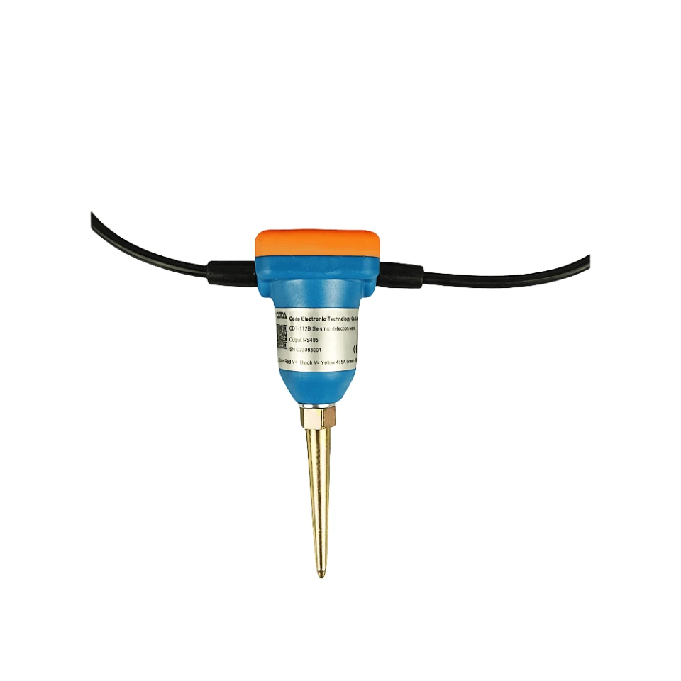
The main tool used to detect seismic waves is the seismometer. Most seismometers work on the principle of inertia.
This means that when the ground shakes during an earthquake, a hanging weight in the seismometer remains still. This happens because of inertia. The movement of the ground and the still weight is then detected and measured.
In a simple pendulum seismometer, a heavy weight hangs from a frame. When the ground shakes, the frame moves with the ground, but the mass, due to its inertia, lags behind. The system converts the difference in motion between the frame and the mass into an electrical signal. This conversion can be done in several ways.
One common method is through the use of a magnet and a coil. As the mass gets close to the coil, it makes an electrical current in the coil. This happens because of Faraday’s law of EM induction. The strength of this electrical current depends on how fast the ground is moving.
Modern seismometers are highly sensitive and can detect even the smallest of ground vibrations. They are designed to record ground motion in all three dimensions. To do this, a three – component seismometer is often used. Each part measures vibrations in a different direction.
The Z component measures up and down motion. The E (east) component measures east and west motion. The N (north) component measures north and south motion. Seismologists use data from three parts.
This helps them find the direction of ground motion. They can also determine the strength of the motion caused by seismic waves.
Seismographs and Seismograms
A seismograph is a system that has a seismometer and a recording device. It captures the electrical signals from the seismometer as time passes. The record created is called a seismogram.
In the past, seismograms were made on paper. A pen was attached to the moving part of the seismometer. As the ground shook, the pen made a wavy line on the paper. This line showed how the ground moved.
Today, technology has improved, and most seismographs are now digital. The seismometer sends electrical signals that are digitized and stored in a computer. You can easily analyze these digital seismograms with special software. Seismologists use the seismogram data to find out different details about the earthquake that caused the seismic waves.
For example, the time gap between P-waves and S-waves at a seismometer helps calculate the earthquake’s distance from it. P-waves travel faster than S-waves. This means that the farther the earthquake is, the larger the time gap is between the two waves.
Seismic Networks
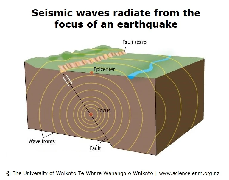
To find an earthquake’s epicenter (the point on the Earth’s surface above the earthquake’s focus), we use seismographs. Seismologists can find the location of an earthquake by comparing the arrival times of seismic waves at different seismographs.
For example, think about three seismographs at points A, B, and C. Each seismograph measures the time difference between P-waves and S-waves. This time difference helps us understand how far each seismograph is from the earthquake.
We can draw circles around each seismograph. The radius of each circle is the calculated distance. Where these three circles meet shows us the locati0n of the earthquake’s epicenter.
Global seismic networks, such as the Global Seismographic Network (GSN), have many seismographs around the world. These networks constantly monitor the Earth for seismic activity. They help detect and locate earthquakes and study the Earth’s interior structure.
Seismologists examine how seismic waves move through the Earth’s layers. This helps them understand the density, composition, and properties of these layers.
Scientists can create seismic waves on purpose, in addition to natural earthquakes. For example, during oil and gas surveys, they set off controlled explosions on the surface.
The seismic waves from these explosions travel through the rocks below the surface. Seismometers in various locations detect these waves.
Geologists can make images of underground rock formations by studying the reflected and bent seismic waves. This helps them locate possible oil and gas reservoirs.