how is visibility measured
A visibility sensor measures how far we can see and recognize objects in the air. Things like fog, dust, smoke, or water droplets can change this horizontal distance. People usually measure visibility in meters (m). Here are some common ways to measure visibility and the tools used for this:
runway visual range Method:
Meteorological visibility tells us how far we can see an object from the ground. This is where a person with normal eyesight can see the outline of an object in the current weather conditions.
Manual observation is still a common way to see how far you can see. This is true in places such as weather stations and airports. Staff measure visibility by looking at distant objects without any tools.
Atmospheric Transmissometer:
This device measures how much scattered light goes through the atmosphere. It is used to see if horizontal visibility is low. It sends and gets an infrared beam. Then, it uses this data to calculate visibility.
Automatic Laser Visibility Meter:
This device checks visibility depends with laser scattering. It sends out a laser beam to check how clear it is. It looks at how much light is absorbed when it comes back.
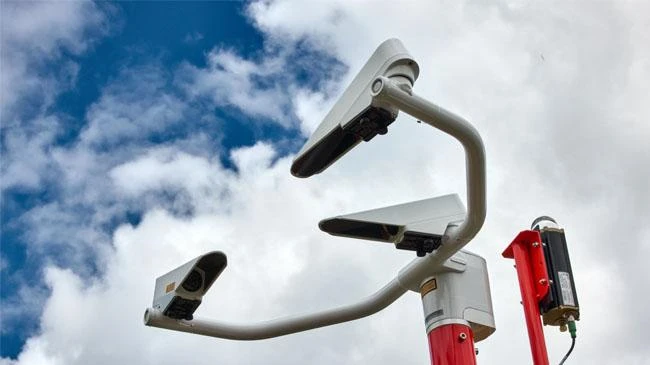
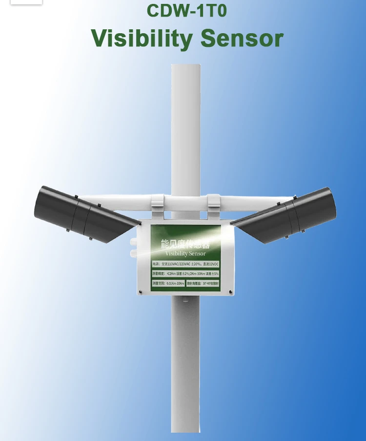
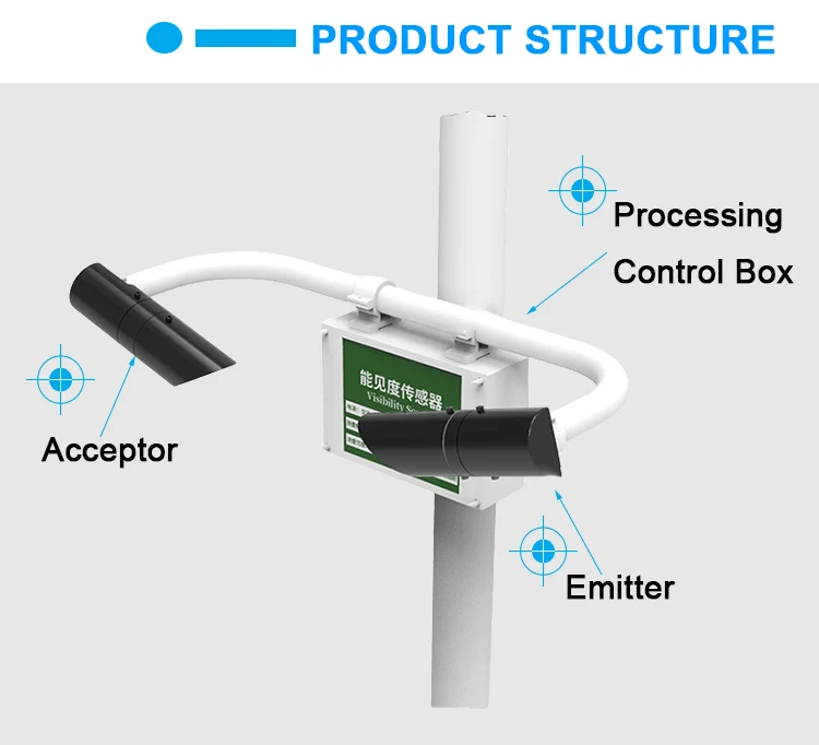
Visibility Sensor:
These sensors are often used to check how well you can see. They measure how light spreads and how it is absorbed. This helps find out how many particles are in the air close.
These sensors often use a laser or infrared light source. They have a light sensor that detects changes in brightness.
LIDAR:
This technology counts the number of airborne particles and shows how they spread. It sends out laser pulses and measures how long they take to come back.
This process shows us how easy it is to see something. People often use LIDAR for long-range and accurate checks. This is important for checking the weather observations at airports.
Visibility meter:
A visibility meter is a tool that shows how far we can see. It uses optical methods to find the farthest distance at which an object that the human eye can see. Researchers often use this tool to observe the weather and help with vehicle navigation.
You can pick these techniques and tools based on what you need. Some methods need special tools and training for accurate measurements.
In real life, picking the right tools to measure visibility is important. This helps you get results that are accurate and reliable. This information is for reference only. If you need help, we suggest talking to experts.