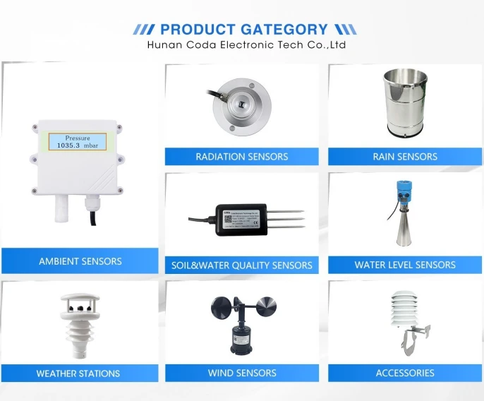
Weather Monitoring Equipment Classification
Weather Monitoring Equipment (WME) includes tools that measure and record weather conditions. These include temperature, humidity, air pressure, wind speed, and more. Based on differing measurement principles and use cases, these instruments can be categorized as follows.
1. Meteorological Stations (Weather Stations)
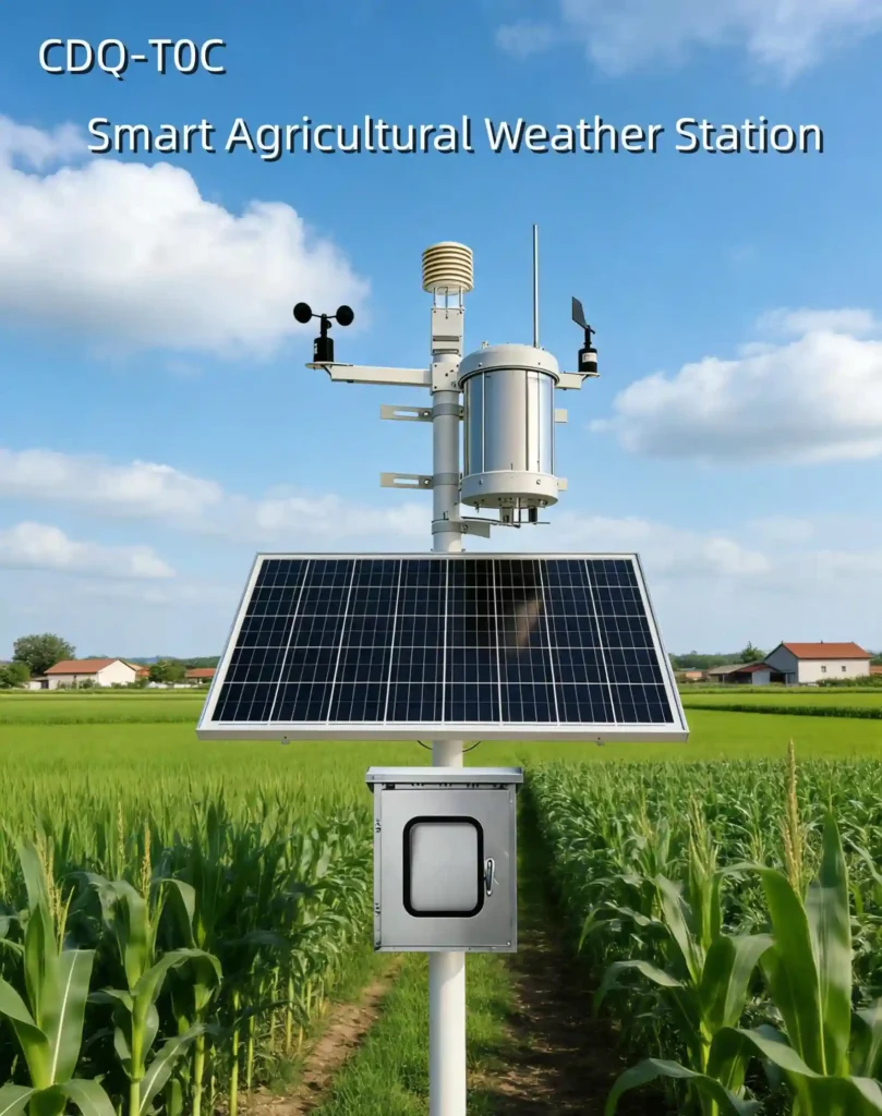
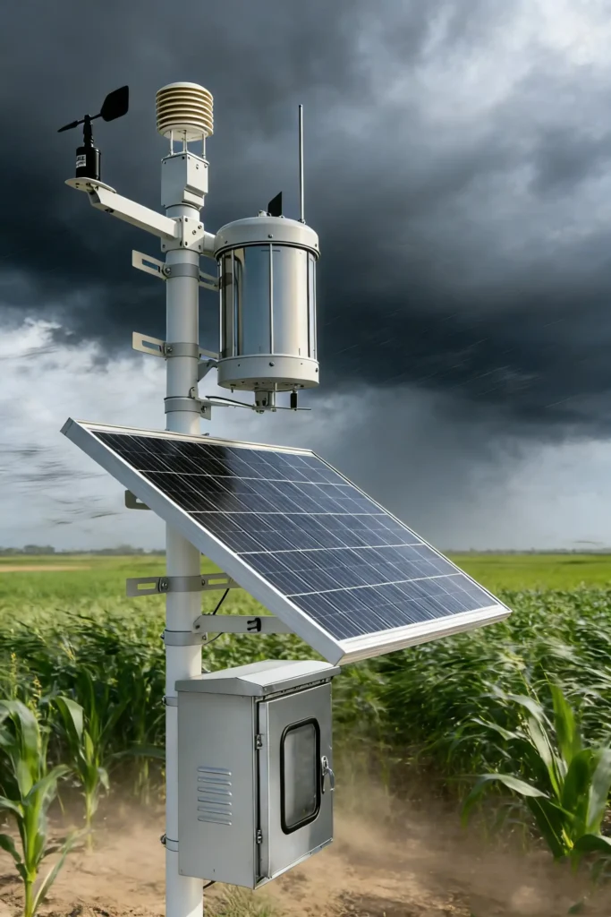
Weather stations are key tools that record weather data on land or at sea. They usually include thermometers, hygrometers, barometers, wind gauges, anemometers, rain gauges, and radiometers. These stations can be automated, with systems that collect data, send it, and analyze it in real time. Or they can be manual, requiring data collection at set times.
2. Weather Radar
Weather Radar uses radar to track weather over wide areas. It gives early warnings. It detects weather fronts, cloud shapes, and wind patterns. Weather radars vary by use. Types include Doppler, phased array, and dual polarization.
3. Meteorological Satellites (Weather Satellites)
Operating in orbit, weather satellites use remote sensing to track air conditions around the world. They track weather patterns and climate change.
They give key data for forecasts and disaster alerts. Types of satellites are grouped by wavelength bands. These include infrared, visible light, and microwave satellites.
4. Meteorological Sounding (Weather Balloon)
Weather sounding instruments measure the atmosphere’s vertical structure and other key parameters.
They do this using a balloon or blimp as it rises. Equipped with sensors, they collect data at different altitudes. This gives key insights for forecasts and warnings.
5. Radiometer
A radiometer measures air radiation and helps track Earth’s energy balance. It watches sunlight and albedo. It gives key data on climate change and pollution.
6. Meteorological Lidar
Meteorological lidar uses laser beams to study the air. It examines particles, clouds, and rain. It gives helpful data for forecasting and climate research.
In summary
Weather monitors range from basic stations to advanced tools. These tools include remote sensing, radar, and lidar systems. These tools offer strong technical support for weather forecasts, climate research, farming, water management, and transport.