Hydrological monitoring: Real-time monitoring of water level, play a flood warning role, accurate understanding of water resources management and distribution, water quality monitoring and environmental protection.
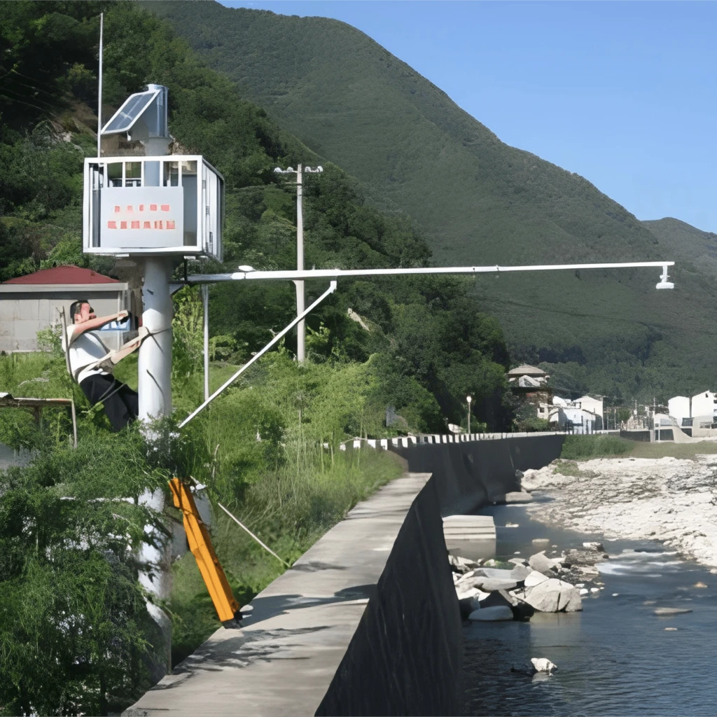
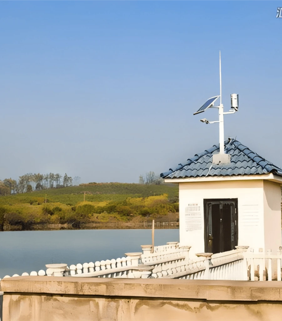
gauging station
A rain station is a professional station used to measure rainfall. The main principle is to collect rain through a rain sensor and convert the amount of rain into hydrological data that can be recorded and transmitted. Common rain sensors are tip-bucket rain sensors and radar rain sensors.
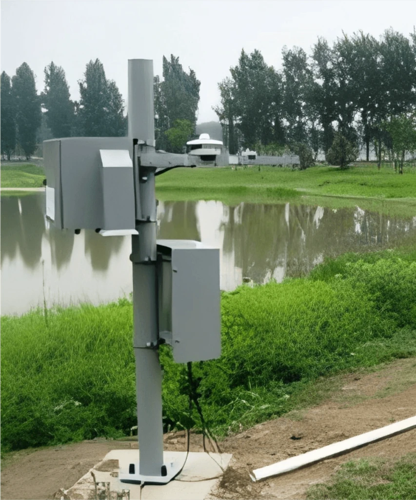
Water flow station
It can determine the cross section area by combining geological survey usgs data and water level information. Generally, we select the discharge station in the river where the river is straight, the water flow is smooth, the section is regular and there is no obvious merging or diverting of upstream and downstream tributaries.
Water quality station
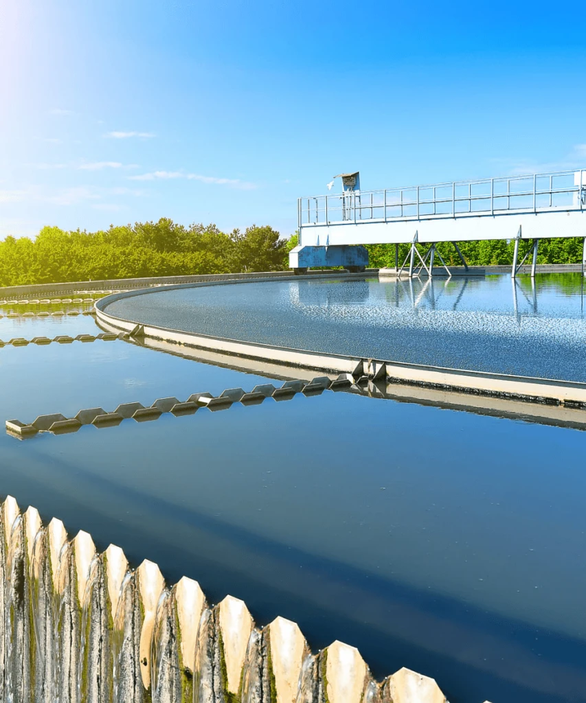
Water quality testing stations are establishments specialized in observing and assessing the quality of diverse water bodies including rivers, lakes, underground water, sources of drinking water, and the like.
Their central role is to precisely measure a multitude of constituents and parameters within the water, thereby thoroughly appraising the condition of water quality.
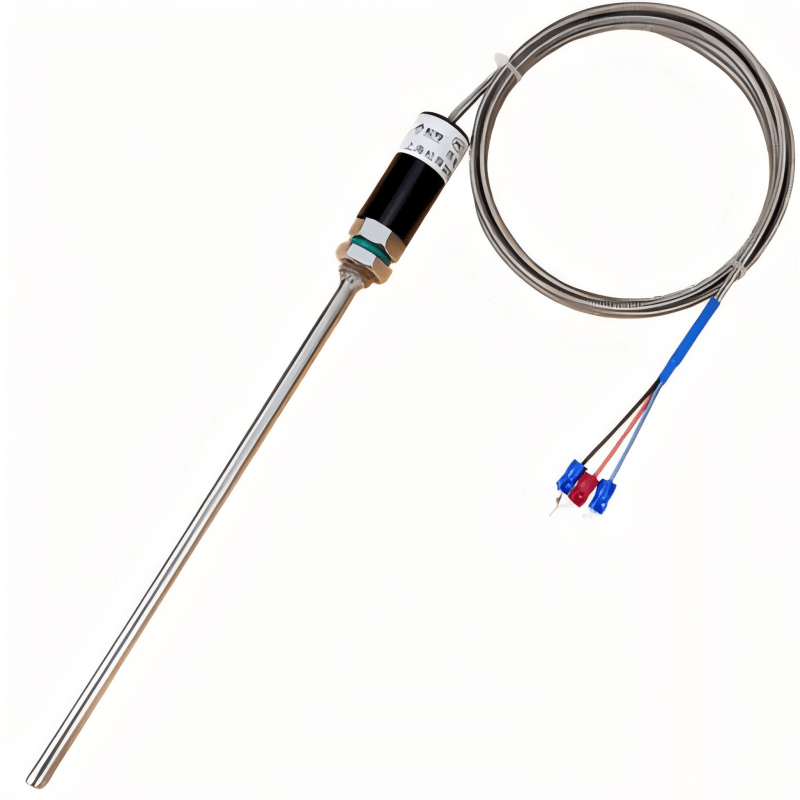
Water temperature station
Use water temperature sensors (such as platinum resistance thermometers) to measure water temperature. The water temperature station can be constructed in combination with the water level station or the water quality station.
We install the water temperature sensors at the representative depth positions in the water body, usually 0.5 – 1 meters away from the bottom.
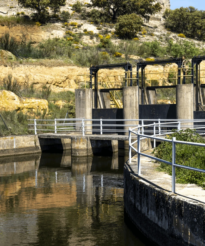
water conservancy project
Flood forecast and warning
Water resources assessment
Ecological environment field
The application of sensors in Hydrological Monitoring Solution
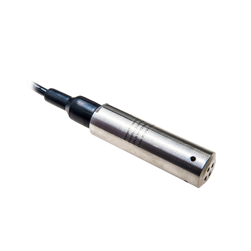
CDL-10B Submersible Liquid Level Transmitter
CDL-12B Radar Level Transmitter
Submersible Liquid Level Transmitter
Function: We place the sensor probe at the bottom of the water body based on the principle of hydrostatic pressure. Then we calculate the water level height by measuring the water pressure endured by the probe.
It is applicable to water bodies with different water depths. Especially on some occasions where the installation space is limited or hidden installation is required, like in deep wells and groundwater monitoring wells.
Radar Level Transmitter
Function: We use the principle of radar wave reflection. We send the radar wave to the water surface and then receive the radar wave signal. We calculate the water level height according to the round-trip time of the radar wave.
It features non-contact measurement, easy installation, and isn’t restricted by water characteristics (such as water quality, sand content) and environmental conditions (such as wind and rain, high temperature, low temperature). It can be widely used in water level monitoring of rivers, lakes, oceans and so on. In tidal level monitoring in coastal areas, the radar water level sensor can accurately measure the tidal level changes in the complex marine environment.
Ultrasonic Liquid Level Transmitter
Function:It is suitable for various water quality and flow conditions. Especially in some waters that contain corrosive substances or floating debris, it has more advantages. For example, in the water level monitoring near the sewage discharge outlet in the chemical park, ultrasonic water level sensors can avoid being corroded by the sewage.
Water temperature sensor
Function:The resistance value of platinum resistance varies with temperature to measure water temperature.
The platinum resistance thermometer boasts such advantages as high precision, excellent stability and a fast response speed. It is thus widely employed in the monitoring of water temperature in a variety of water bodies, like rivers, lakes, reservoirs and oceans. When it comes to monitoring the discharge of cooling water in thermal power plants, the platinum resistance thermometer can precisely measure the temperature of the discharged cooling water and help prevent thermal pollution.
Function: The radar flow meters can measure the velocity and water level of the water body in real time, and calculate the instantaneous section flow and cumulative flow according to the velocity area method through the built-in software algorithm, so as to provide accurate flow real time data for Water monitoring systems and help the staff to grasp the dynamic change of water flow in time.
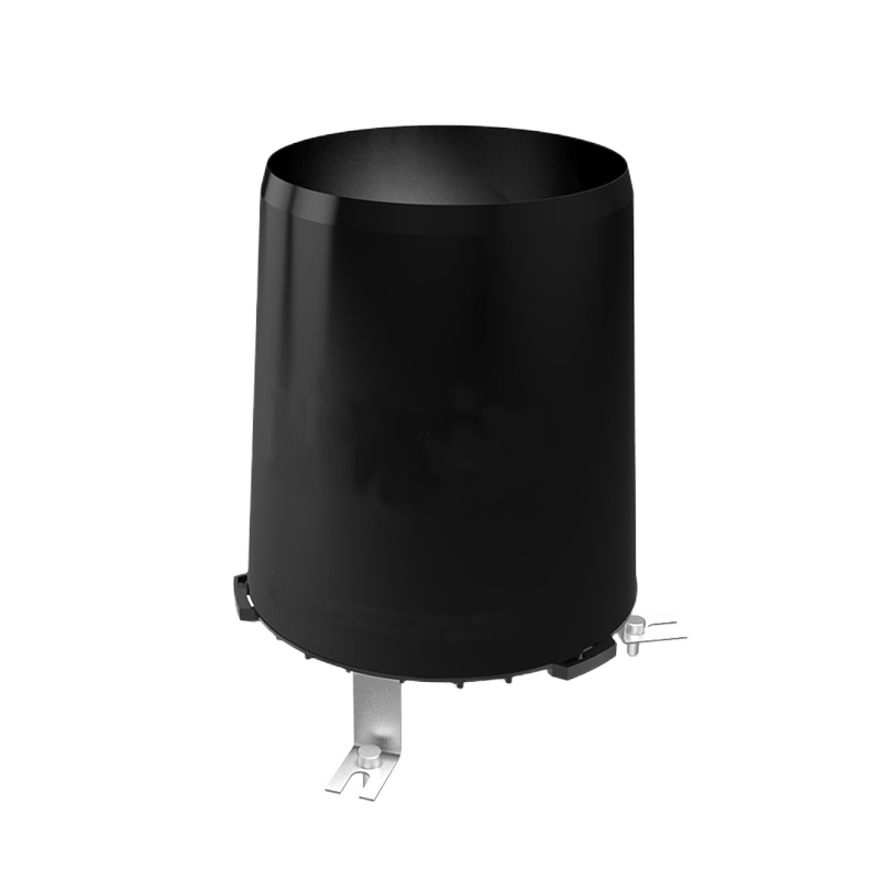
Rain Sensor
Function: The rainfall sensor can accurately monitor the size and change of rainfall in real time. In the Water monitoring systems, these data collection will be transmitted to the monitoring center in time.
Take mountain river basins as an example. Heavy rainfall within a short period can promptly give rise to flash flood control. Rainfall sensors are capable of recording rainfall at intervals of every 5 – 10 minutes or even shorter. Once the rainfall surpasses a preset threshold, for instance, 50 mm or more per hour, the system can swiftly issue flood warnings.
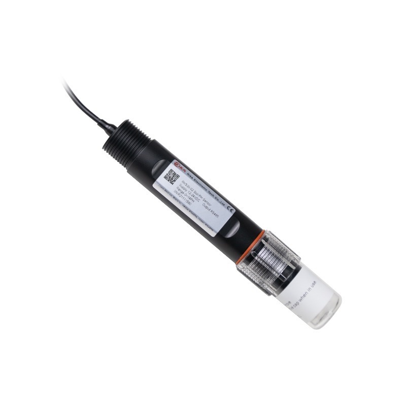
PH Sensor
Function:pH Water quality sensors can accurately measure the pH value of water.In the water quality comprehensive evaluation system, pH value is an important parameter. Different water uses have different requirements for pH value. Mainly used for environmental monitoring and ecological protection, industrial process control and wastewater treatment, drinking water safety
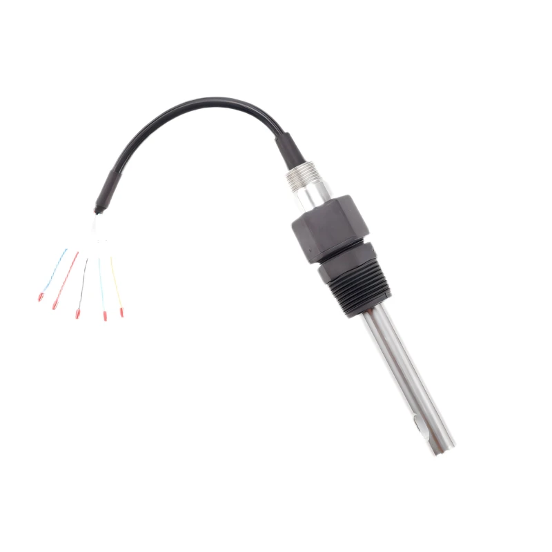
TDS Sensor
Function:TDS (Total Dissolved Solids) sensors are primarily employed to gauge the content of total dissolved solids within water. They figure out the TDS value by detecting the combined quantity of diverse dissolved ions (including calcium, magnesium, sodium, potassium ions and so on) as well as certain small molecular organics present in the water. Typically, the measurement is expressed in milligrams per liter (mg/L) or ppm (parts per million).
CDT-11A Liquid PH Sensor
CDT-1T4B TDS Sensor
Hydrological Monitoring Customer Case
Background:
European river level height monitoring, using the radar principle to measure the level height.
Hydrological Monitoring Solution equipment:
Dense rain sensors and water level sensors have been installed in the upper reaches of the river and around the city. Rainfall sensors can detect the intensity and quantity of rainfall instantaneously. Their data gets transmitted to flood warning centers by means of satellite communications and terrestrial networks.
Results:
The flood warning time has been increased from a few hours in the past to a few days now, effectively reducing the damage caused by floods. Its experience lies in paying attention to the comprehensive monitoring of urban water environment, closely combining Water monitoring with ecological protection and urban planning, and making full use of modern information technology to achieve efficient management and application of data.
Background:
Taihu Lake Basin represents one of the regions in China with a highly developed economy. However, it is concurrently an area plagued by conspicuous water environment issues, particularly eutrophication and the occurrence of cyanobacteria blooms.
The fundamental aim of hydrological monitoring is to enhance the management of water resources, enhance the water quality of Taihu Lake, and safeguard the ecological and water supply security within the basin.
Weather station monitoring equipment:
We have installed flow monitoring stations on major tributaries. By combining current meters and radar flowmeters, we can accurately measure the river flow. Meanwhile, we have set up a large number of rain measuring stations and evaporation stations. We monitor precipitation and evaporation by using rainfall sensors and evaporating dishes, which provides data for calculating the balance of water resources of the Yellow River.
Through these monitoring data and combined with the water demand of the Yellow River basin, we can allocate water resources reasonably to ensure the domestic, production and ecological water use in the basin.
Results:
Through model simulation, the impacts of different treatment measures on the water quality and ecology of Taihu Lake were studied to provide decision-making support for water environment management in the basin.
Background:
A small lake in Southeast Asia that monitors water level changes and water quality.
Weather station equipment:
We set up meteorological monitoring stations in the open areas along the shore of the lake and install equipment including rainfall sensors, temperature sensors, wind speed sensors and solar radiation sensors to comprehensively monitor how meteorological conditions influence the hydrological process of the lake.
Two water quality monitoring stations have been established respectively at the inlet, outlet and in the center of the lake. Each of these stations is furnished with multi-parameter water quality sensors that are capable of monitoring in real time several indicators of the lake, such as pH, dissolved oxygen (DO), electrical conductivity, ammonia nitrogen, total phosphorus, and total nitrogen.
Results:
It rises in summer because of the increase in rainfall and slightly decreases in winter. Meanwhile, we have detected some short-term abnormal changes in the water levels, like rapid fluctuations in water levels during heavy rainfall or when there is peak water use in the surrounding areas.
LEAVE A MESSAGE
Just tell us your requirements, we can do more than you can imagine.
Welcome to Hunan CODA Electronic Technology Co., LTD